Hi! I'm Ian Gyezaho, a Spatial Data Analyst, GIS Specialist, and Data management enthusiast with a passion for geospatial data analysis and visualization.

I am currently pursuing a Master of Science in Geo-information and Technology with a specialisation in data management

Portfolio

Cube satellites

Flood analysis using Sentinel-1

This project mapped monthly flood patterns in Kasese District, Uganda, using Sentinel-1 radar and JRC Surface Water data. By masking permanent water and applying a -15 dB threshold, temporary floods were detected and summarized monthly. January showed the largest flood extent (28.9 km²). Built in Google Earth Engine, this workflow supports flood monitoring and disaster planning in vulnerable areas.

 Animation project image

GPS tracker Animation

This animation visualizes a bike route recorded using GPS data captured in GPX format. The track was overlaid on a styled basemap and route layer to highlight the cyclist’s movement. Frames were processed and compiled using ImageMagick, creating a dynamic time-lapse that brings spatial activity to life through simple yet powerful command-line image manipulation.

Nassau County POIs map web application preview

Interactive Web map app

This web app displays points of interest in Nassau County, NY, using Google Apps Script and Leaflet.js. Users can filter businesses by category, city, or name, and view detailed popups with contact info, website links, and hours of operation—all visualized on an interactive map.

Three stacked silver database cylinders labeled from top to bottom with PostGIS and PostgreSQL. The top cylinder features the PostgreSQL elephant logo on the left and a cartoon elephant balancing a globe on its trunk on the right. The overall tone is professional and technical, representing spatial database technology.

Spatial Database Management Systems

This project was developed for an events company to support the planning and execution of their annual festival. It utilized WebGIS to power a mobile-friendly interface that provided real-time spatial information to attendees and staff. The application allowed clients to locate key amenities such as stages, washrooms, and vendor areas, while also guiding performers to their assigned stages. By integrating geospatial tools into event logistics, the platform enhanced on-site navigation, improved service delivery, and streamlined operational workflows for organizers.

About Me

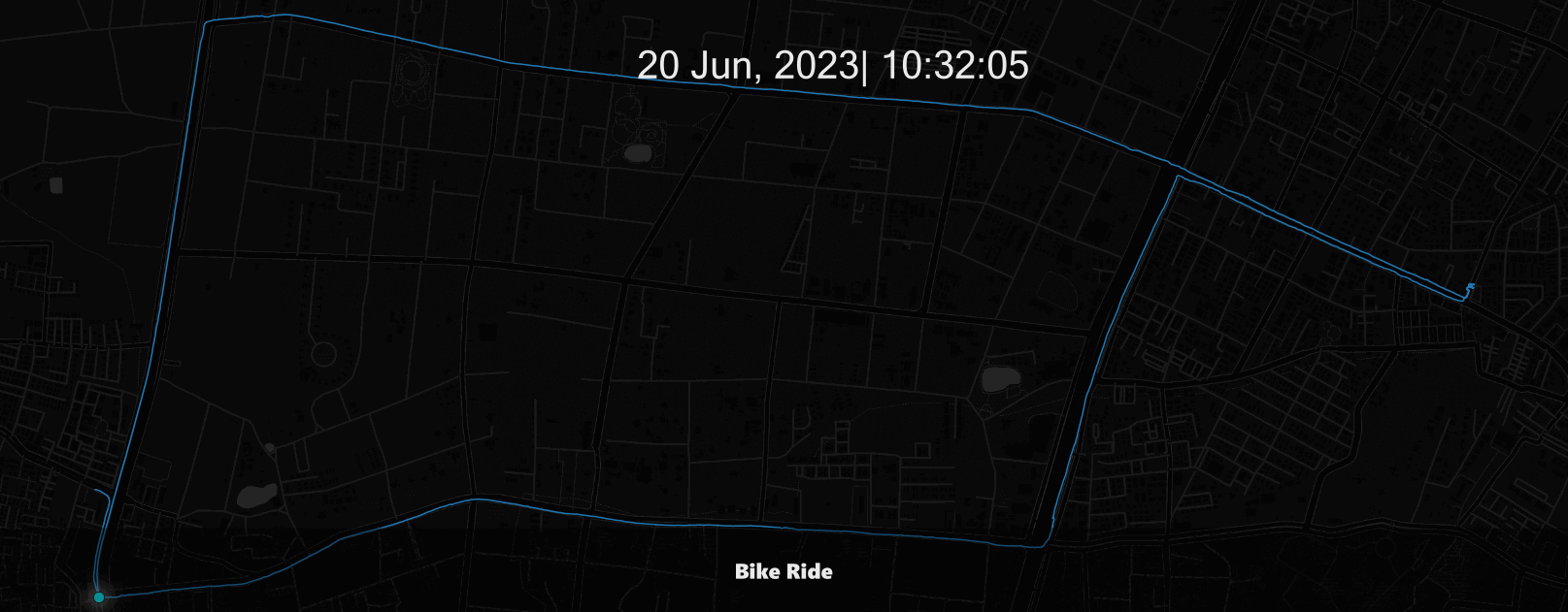
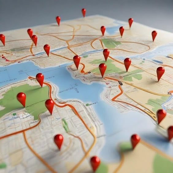
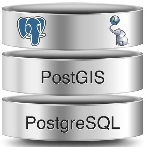
I am a highly analytical and detail-oriented Data Specialist with extensive experience in geospatial data analysis, meticulous data validation, and quality assurance. My professional background such as a Geospatial Data Analyst at Dataplor, a US-based spatial data company, provided hands-on expertise in processing large datasets, including various file formats and SQL for database management. I am proficient in Data management systems,GIS software like QGIS, ArcGIS, and Google Earth, adept at spatial analysis, remote sensing (including GEE workflows), and creating accurate maps and data visualizations. With an active Master's degree in Geo-Information Science and Technology and a Bachelor's in Geo-Sciences, I hold a strong academic and professional foundation to complement my practical skills in data research, analysis, and problem-solving, consistently striving for high-quality, actionable insights.

Technical Proficiency

  • GIS: QGIS, ArcGIS, Google Earth Engine
  • Remote Sensing & Image Analysis
  • Spatial Data Management & SQL
  • Python (Pandas, GeoPandas, Rasterio)
  • Google Apps script
  • Data Visualization
  • Database Management Systems
  • Data Quality Assurance
  • Cartography & Map Design
  • Web Mapping Applications

Contact

Feel free to reach out for collaborations,offers, questions, or just to connect. I look forward to hearing from you!